[Courtesy of NAVcours ]
South Korea began developing a terrestrial navigation system that can provide Positioning navigation timing (PNT) information reliably by utilizing transmission towers on the ground in 2016 after North Korea discharged strong electric waves for systematic cross-border electric warfare. The electric wave attack caused no visible damage, but Seoul condemned it as a serious provocation.
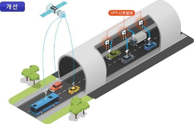
PNT information, which is essential for industry and daily life, relies on the U.S. global positioning system (GPS). With multiple disruption tools, North Korea has occasionally jammed GPS communications in South Korea. Seoul regards GPS disruptions as a new form of North Korea's low-level, asymmetric provocation.
In a statement published on March 31, the Seoul government announced the commercialization of an enhanced long-range navigation (eLoran) system that provides precise visual information and calculates location by measuring the time reached by radio waves from three or more transmitters.
A pilot service will be launched on June 1, with coastguard vessels and patrol boats operating in maritime border areas to receive eLoran receivers. The service will be expanded to fishing boats and merchant ships. For a nationwide service, South Korea will establish a cooperative system with broadcasting, information and communication sectors to provide precise standard-time information and expand it to other industries to prevent disruptions in national infrastructure even when GPS is suspended.
"GPS is quite convenient for everyday use, but it is vulnerable to radio interference and disturbance because signals come from far above," Oceans and Fishery Minister Moon Song-hyeok was quoted as saying. "We will actively promote the joint use of eLoran with related ministries so that people can receive more stable PNT services."
For stable eLoran operation, a network of five transmitters will be established, the ministry said, adding the government would miniaturize equipment, enhance error correction, and set up a security certification system to expand the use of eLoran in the public safety field while developing new technologies to meet standards required by the International Maritime Organisation (IMO).
South Korea would promote system linkage with China and Russia for safe deep-sea navigation and discuss with European countries on selecting international standards. Domestic equipment makers would receive various support to become competitive in the global market.
South Korea aims to secure an independent satellite-based navigation system by 2035, based on seven satellites that can provide independent positioning and navigation signals over an area spanning a 1,000-km radius from Seoul. The goal is to prove an ultra-precision location data service and reduce the error range of positioning in its service area to less than one meter.
South Korea regards the so-called Korean positioning system (KPS) as essential for national security and the growth of self-driving and other advanced technologies. If more accurate services are available through KPS, policymakers think that will serve as a stepping stone for the evolution of new technologies such as autonomous driving, drones, and personal air vehicles.
reporter

Lim Chang-won
cwlim34@ajunews.com

![[UPDATES] Seoul urges Pyongyang to stop GPS attack](https://image.ajunews.com/content/image/2016/04/01/20160401113659985311.jpg)