[The Ministry of Agriculture, Food and Rural Affairs]
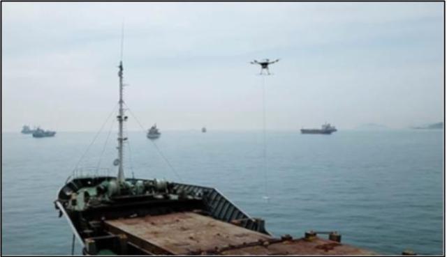
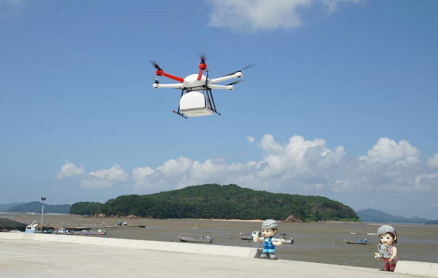
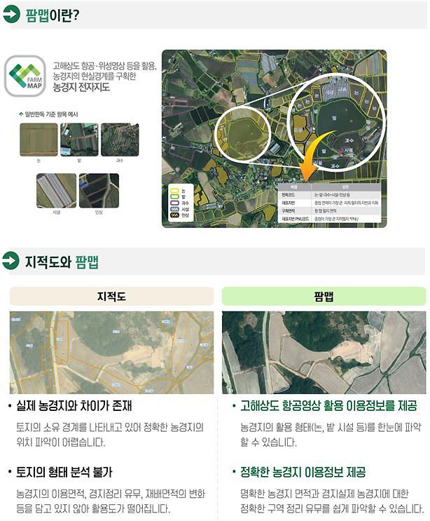
SEOUL -- In an effort to accelerate the adoption of smart farming, South Korea will release a digital "Farm Map" containing data on farmlands and topographical information. The service is useful when farmers make decisions based on cadastral maps or when they select coordinates for the operation of unmanned farming vehicles and drones.
Currently, web service portals such as Naver and Kakao provide free digital map services including satellite images, cadastral maps, and 360-degrees images of streets. However, such services do not provide information about lands. Farmers or those who wish to know more about the land characteristics of specific areas should visit actual locations or local agricultural institutes.
The Farm Map service will be open to the public on December 28, the Ministry of Agriculture, Food and Rural Affairs said. "We hope this digital map service will provide more agricultural information to farmers and become an opportunity to accelerate the adoption of smart farming," Yun Won-seub, a manager of the ministry's policy planning bureau, was quoted as saying.
Previously, the digital agricultural map service was only available for government organizations and institutes to monitor crop production and the size of farming areas.
reporter

Park Sae-jin
swatchsjp@ajunews.com